

Drone videography and aerial video in Vancouver, WA.
Aerial video for real estate listings, construction projects, and commercial property across Vancouver, Clark County, and the Portland metro, flown by an FAA Part 107 certified pilot. Aerials come with every listing film, and drone passes for construction sites, new developments, and commercial property are planned per project.
What we fly
Drone work here is part of the property film or the build record, flown for the shots a ground camera cannot get.
Listing aerials
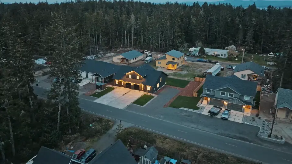
The establishing shots that place a home on its lot, on its street, and in its setting: the frame that answers “where is this?” before a buyer asks. Included with every listing film.
Twilight aerials
The house lit against the evening sky, flown on a twilight return. Part of the larger listing packages, or an add-on.
Construction progress
Aerial passes at the milestones of a build, from foundation to finish, cut into short updates for your site, a leasing campaign, or an investor deck.
New developments
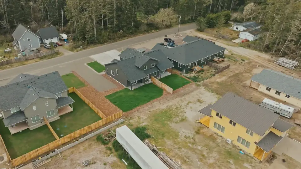
A whole community from above, phase by phase, filmed to one consistent look so the library holds together from the first phase to the last.
Commercial property
The building, the site, and how people reach it, from the air: for the listing, the leasing campaign, or a company film.
Airspace around Vancouver and Portland
Five airports decide where a drone can fly here.
Portland International, Pearson Field in downtown Vancouver, Portland-Troutdale, Portland-Hillsboro, and Aurora State south of Wilsonville each sit inside controlled airspace. Close to them, a commercial drone flight needs FAA authorization before takeoff, and the FAA’s maps set how high it may go.
Most requests are approved automatically through the FAA’s LAANC system. Where the map shows a ceiling of zero, as it does beside Pearson Field, the request goes to the FAA by hand and takes longer, so it is made well ahead of the shoot.
| Area | Nearest airport | Automatic approval up to |
|---|---|---|
| Downtown Vancouver | Pearson Field (VUO) | 0 ft: requested from the FAA by hand |
| East Vancouver (Orchards) | Portland International (PDX) | 400 ft |
| Northeast Portland | Portland International (PDX) | 400 ft |
| Camas | Portland-Troutdale (TTD) | 300 ft |
| Washougal | Portland-Troutdale (TTD) | 200 ft |
| Gresham | Portland-Troutdale (TTD) | 300 ft |
| Hillsboro | Portland-Hillsboro (HIO) | 200 ft |
| Wilsonville | Aurora State (UAO) | 200 ft |
| Salmon Creek, Ridgefield, Battle Ground | None nearby | No authorization needed |
| Downtown Portland, Beaverton, Lake Oswego, Happy Valley | None nearby | No authorization needed |
From the FAA’s UAS Facility Maps at one point in each area, checked October 21, 2026. Ceilings change from block to block and the maps are updated, so every address is checked again before the shoot. Everywhere, Part 107 caps flights at 400 feet above the ground. All 18 towns we cover, with the airspace at each, are on the service area page.
How a drone shoot works
Send the address
We check it against the FAA’s airspace maps and, near an airport, request authorization ahead of the shoot.
Plan around the light
Which way the house faces decides when to fly: the front in sun, the view at its best, or the lights on at dusk.
Fly
Aerial video, flown by an FAA Part 107 certified pilot alongside the rest of the shoot.
Delivered with the rest
The aerials arrive cut into the listing film or the construction update, in the same delivery link as everything else.
See the aerials in context in a listing film, in a commercial property film, or across the life of a build in construction and development video.
Where we fly
Based in Vancouver, Washington, flying listings and job sites across Clark County and the Portland metro.
Vancouver, WA · Portland, OR · Camas, WA · Washougal, WA · Ridgefield, WA · Battle Ground, WA · Lake Oswego, OR · Beaverton, OR · Happy Valley, OR — and the wider Clark County and Portland metro. Travel beyond the metro is available for developments and luxury properties.
Questions
Are you a licensed drone pilot?
Yes. Drone work is flown by an FAA Part 107 certified remote pilot. Part 107 certification is what the FAA requires for any commercial drone flight in the United States, including real estate and construction work.
Is drone footage included with a listing film?
Yes. Aerial coverage is included with every listing film. Drone work is part of the shoot, not an upsell.
Do I need permission to fly a drone over my listing?
No, that is part of planning the shoot. Near Portland International, Pearson Field, Troutdale, Hillsboro, and Aurora, a commercial flight needs FAA authorization, and we request it. Beside Pearson Field in downtown Vancouver the FAA’s automatic system does not approve flights, so that request is made by hand and further ahead.
How high can a drone fly around Vancouver and Portland?
No higher than 400 feet above the ground anywhere under Part 107, and lower near airports. On the FAA’s maps, automatic approval stops at 300 feet in Camas and Gresham, 200 feet in Washougal, Hillsboro, and Wilsonville, and zero beside Pearson Field.
Can you fly at twilight?
Yes. The new-build duplex film on this site closes on a twilight aerial. Twilight is part of the larger listing packages, or an add-on to any shoot.
Do you film construction sites from the air?
Yes. Aerial passes are part of construction progress documentation, filmed at the milestones your project treats as milestones and cut into short updates.
Where do you fly?
Across Vancouver, Camas, Washougal, Ridgefield, Battle Ground, and the rest of Clark County, and over the river in Portland, Lake Oswego, Beaverton, and Happy Valley. Travel beyond the metro is available for developments and luxury properties.
Send the address. We'll check the airspace.
Send the property or site address and what you need from the air, and we'll follow up with availability and a quote.